search
Sweden satellite map
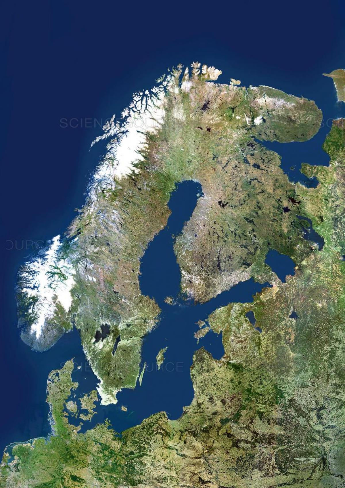
Map of Sweden satellite. Sweden satellite map (Northern Europe - Europe) to print. Sweden satellite map (Northern Europe - Europe) to download. Satellite map is showing Sweden, the country that occupies the eastern part of the Scandinavian peninsula, which it shares with Norway. The land slopes gently from the high mountains along the Norwegian frontier eastward to the Baltic Sea. Geologically, it is one of the oldest and most stable parts of the Earth’s crust. Its surface formations and soils were altered by the receding glaciers of the Pleistocene Epoch (about 2,600,000 to 11,700 years ago). Lakes dot the fairly flat landscape, and thousands of islands form archipelagoes along more than 1,300 miles (2,100 km) of jagged, rocky coastline. Like all of northwestern Europe, Sweden has a generally favourable climate relative to its northerly latitude owing to moderate southwesterly winds and the warm North Atlantic Current.
The interior of southern Sweden, Småland, is a wooded upland with elevations of 980 to 1,300 feet (300 to 400 metres) as its shown in Sweden satellite map. A region of poor and stony soils, Småland has been cultivated through the ages with some difficulty, as evidenced by the enormous mounds of stone cleared from the land. More recently the area has been characterized by flourishing small factories. The Swedish coastline is typically rocky, with hundreds of small, sometimes wooded islands. Ground by glacial ice in the same direction, they have a common rounded shape. This type of coast, known as skärgård, is found in both the east and the west, especially around Stockholm and Gothenburg. Off the southern coast in the Baltic, the large, flat islands of Öland and Gotland are outcropping layers of sandstone and limestone.


