search
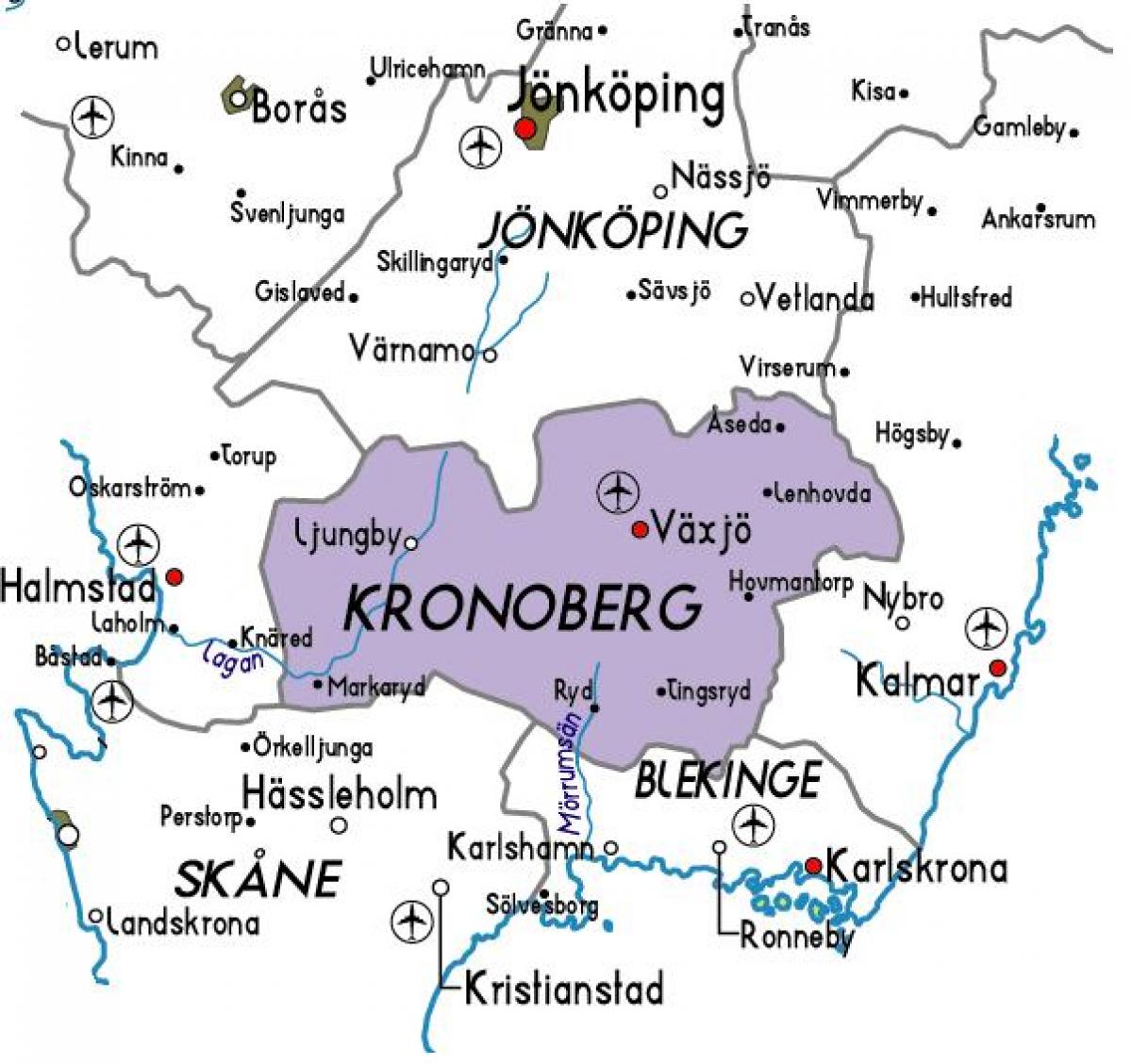
Kronoberg Sweden map
Map of Kronoberg Sweden. Kronoberg Sweden map (Northern Europe - Europe) to print. Kronoberg Sweden map (Northern Europe - Europe) to download. Kronoberg County (Kronobergs län) is a County or län in southern Sweden. It borders the counties of Skåne, Halland, Jönköping, Kalmar and Blekinge as its shown in Kronoberg Sweden map. Its capital is the city Växjö. The air travel (bird fly) shortest distance between Stockholm and Kronoberg is 362 km= 225 miles. Geographically Kronoberg County represents the heartland of the province of Småland. It received its present borders in 1687 when Jönköping County was separated. The seat of residence for the Governor or Landshövding is Växjö. The Governor is the head of the County Administrative Board or Länsstyrelsen. The County Administrative Board is a Government Agency headed by a Governor. The current Governor is Kristina Alse'r who took over the office from Lars-Åke Lagrell.
Note that all the municipalities in Kronoberg have names after their seats except Uppvidinge, where the seat is located in the small town Åseda. The municipalities of Kronoberg as its mentioned in Kronoberg Sweden map are: Alvesta, Lessebo, Ljungby, Markaryd, Tingsryd, Uppvidinge, Växjö, Älmhult. Kronoberg was formally granted its arms in 1944, however use of the same was already an established practice. It is a variation of the arms of Småland. Blazon: "Or, a lion rampant Gules langued and armed Azure holding in front paws a Crossbow of the second bowed and stringed Sable with a bolt Argent, standing on a tripple Mount Vert."


