search
Sweden attractions map
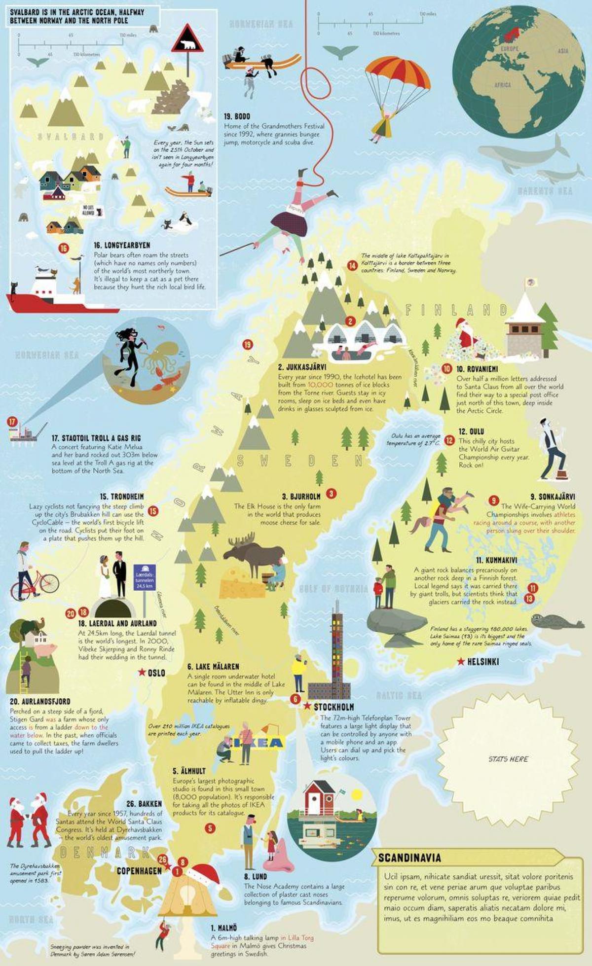
Sweden attraction map. Sweden attractions map (Northern Europe - Europe) to print. Sweden attractions map (Northern Europe - Europe) to download. The Vasa Museum in Stockholm is Sweden most popular museum and now attracts around a million visitors annually. More than 20 million people have visited since the museum opened in 1990, and it is not hard to see why. Skansen as its shown in Sweden attractions map, the world oldest open-air museum, is a historic village made up of houses and farmsteads from all over Sweden, representing both rural and urban culture at various periods from 1720 to the 1960s. Stockholm Old Town is known as Gamla Stan, a small concentrated area where the city began in the middle of the 13th century. Fairytale Drottningholm Palace on the island of Lovö is a UNESCO World Heritage Site and lies about 11 kilometers west of Stockholm city center (45 minutes by boat). Dating from the 17th century, the palace is now the official residence of the Swedish Royal Family.
Stockholm is often referred to as the Venice of the North. Water is everywhere, and around 30,000 islands lie in Stockholm wondrous archipelago (skärgården). Distinctive red and yellow timber summerhouses occupy some islands while others remain totally unspoiled. Sharing the same latitude as central Greenland, Kiruna as its mentioned in Sweden attractions map is Sweden northernmost town. It is also the chief town of the largest commune in the country, which borders both Norway and Finland. Often described as Sweden greatest feat of engineering, the gota canal dates from the early 19th century and is 190 kilometers in length. It is now one of the country premier tourist attractions and offers a unique perspective on Sweden heartland. One of Sweden's most famous buildings, the Stockholm City Hall was built between 1911 and 1923, using an astonishing eight million bricks.


