
search
Sweden climate map
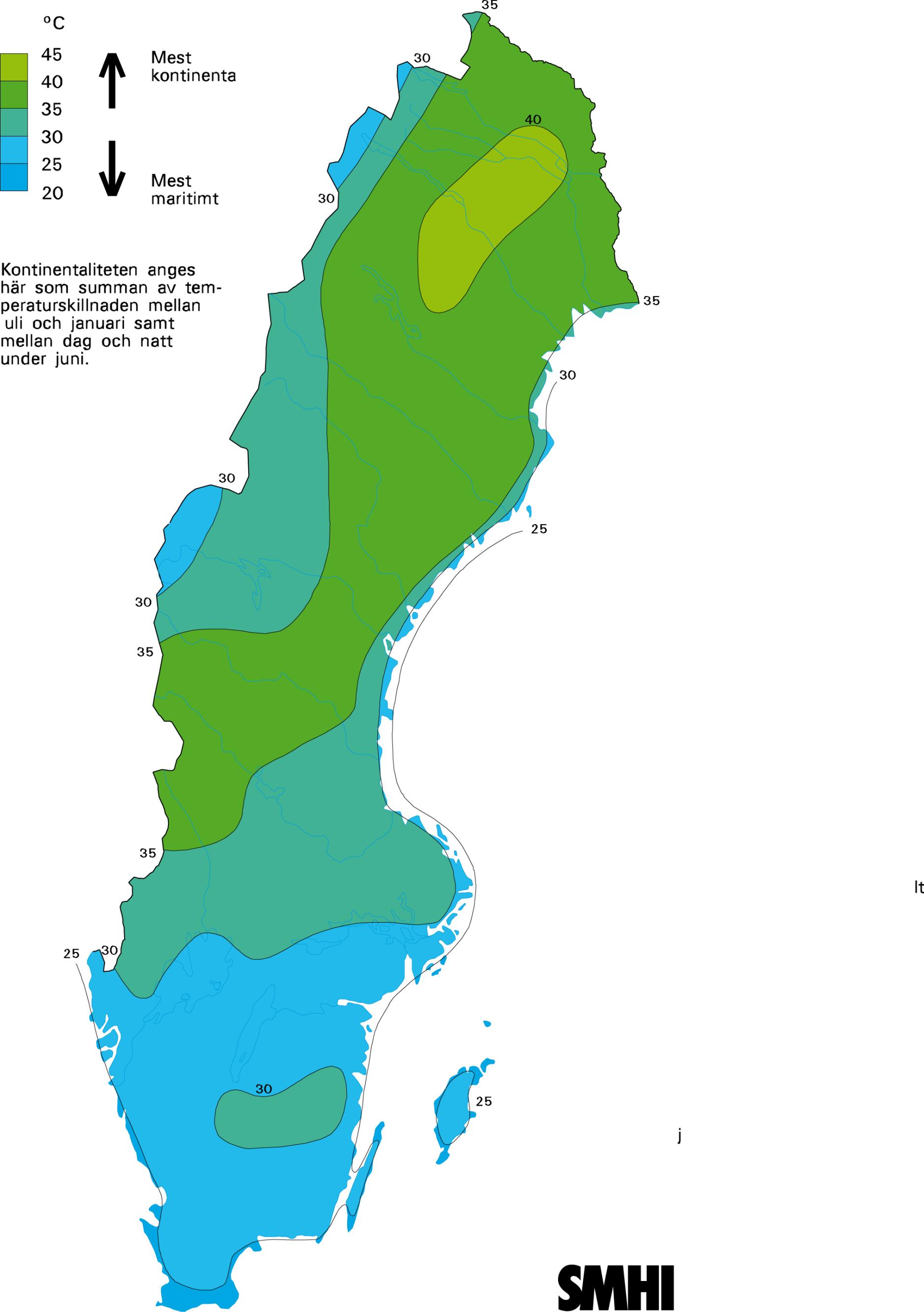
Climate map of Sweden. Sweden climate map (Northern Europe - Europe) to print. Sweden climate map (Northern Europe - Europe) to download. Most of Sweden has a temperate climate, despite its northern latitude, with four distinct seasons and mild temperatures throughout the year. The country can be divided into three types of climate; the southernmost part has an oceanic climate, the central part has a humid continental climate and the northernmost part has a subarctic climate as its shown in Sweden climate map. However, Sweden is much warmer and drier than other places at a similar latitude, and even somewhat farther south, mainly because of the Gulf Stream. For example, central and southern Sweden has much warmer winters than many parts of Russia, Canada, and the northern United States. Because of its high latitude, the length of daylight varies greatly. North of the Arctic Circle, the sun never sets for part of each summer, and it never rises for part of each winter.
Temperatures in Sweden vary greatly from north to south. Southern and central parts of the country have warm summers and cold winters, with average high temperatures of 20 to 25 °C (68 to 77 °F) and lows of 12 to 15 °C (54 to 59 °F) in the summer, and average temperatures of -4 to 2 °C (25 to 36 °F) in the winter as its mentioned in Sweden climate map, while the northern part of the country has shorter, cooler summers and longer, colder and snowier winters, with temperatures that often drop below freezing from September through May. The highest temperature ever recorded in Sweden was 38 °C (100 °F) in Målilla in 1947, while the coldest temperature ever recorded was −52.6 °C (−62.7 °F) in Vuoggatjålme in 1966.