search
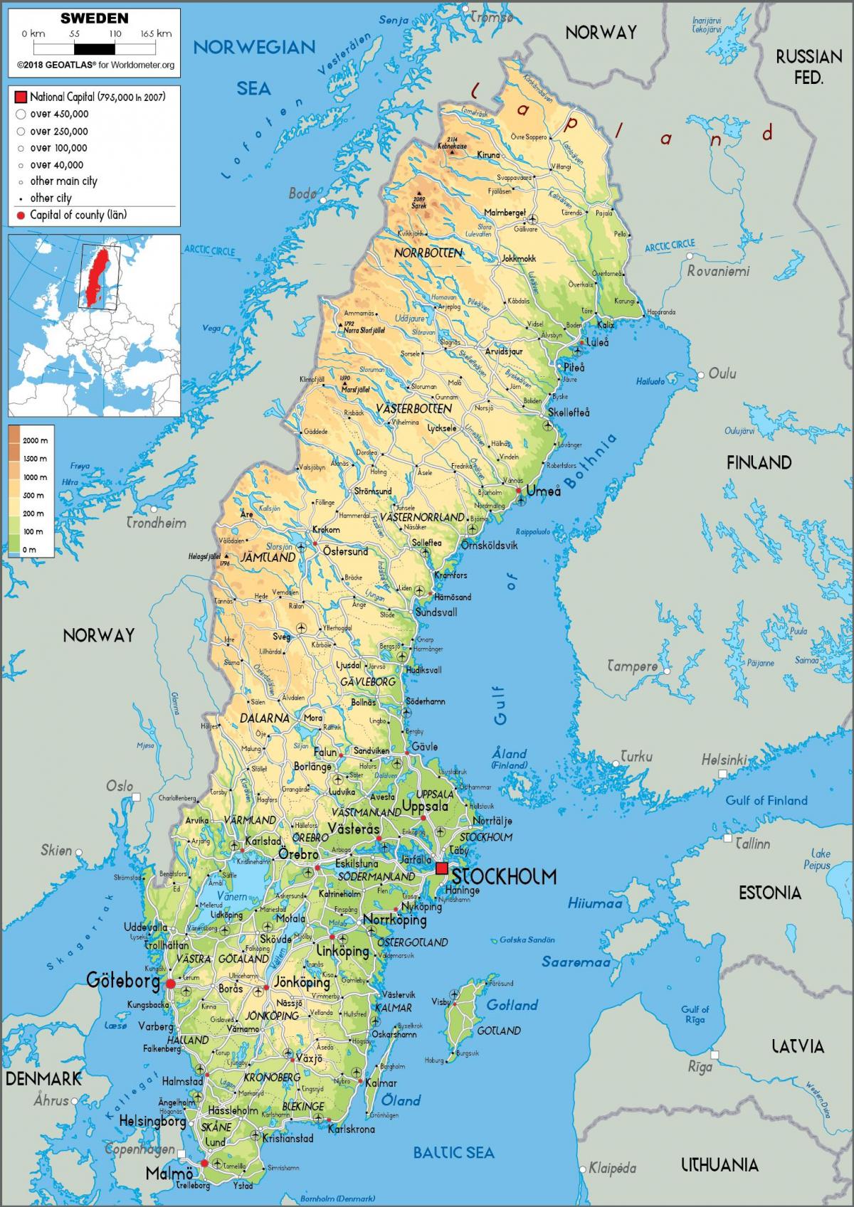
Sweden river map
Map of Sweden river. Sweden river map (Northern Europe - Europe) to print. Sweden river map (Northern Europe - Europe) to download. The country’s chief rivers originate in the mountains of Norrland, mostly flowing southeastward with many falls and rapids and emptying into the Gulf of Bothnia or the Baltic Sea. The longest, however, is the Klar-Göta River, which rises in Norway and flows 447 miles (719 km), reaching Lake Väner (Vänern) and continuing southward out of the lake southern end to the North Sea; along its southernmost course are the famous falls of Trollhättan as its shown in Sweden river map. The Muonio and Torne rivers form the frontier with Finland, and in the south the Dal River marks the transition to Svealand. The rivers, except in the far north, where they are protected, are sources of hydroelectric power.
The rivers flowing in Norrland (northern Sweden) include the Torne, the Lule, the Skellefte, the Göta, the Ume (and its tributary, the Vindel), the Ångerman, the Ljungan, and the Dal. All flow generally southeast from the high elevations along the border with Norway until they empty into the Gulf of Bothnia. Waterfalls and rapids punctuate the rivers. The Torne and its tributaries form the border with Finland. The Göta River cuts through rocky wilderness into the lowlands of Svealand. The Trollhättan Falls (33 meters/108 feet) on the Göta River are indicative of the change in level between Vänern and the lowlands along the Skagerrak in the west as its mentioned in Sweden river map. The rivers flowing in the southern and western part of the country are shorter than those in the north. They include the Viskan, Ätran, Nissan, and Lagan, all well-known for their abundant salmon.


