search
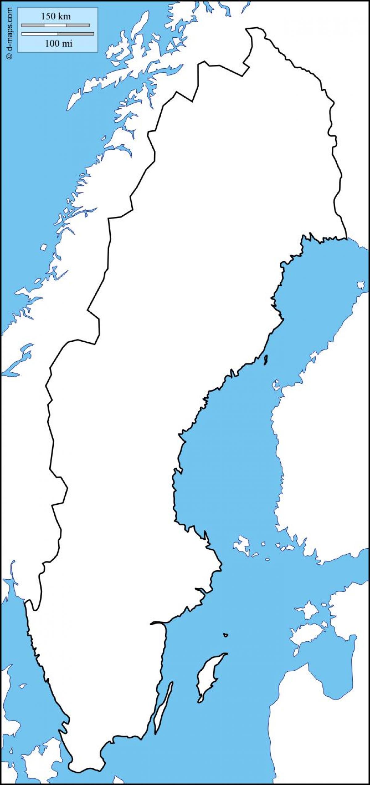
Sweden blank map
Blank map of Sweden. Sweden blank map (Northern Europe - Europe) to print. Sweden blank map (Northern Europe - Europe) to download. Sweden is a country in Northern Europe on the Scandinavian Peninsula. It borders Norway to the west; Finland to the northeast; and the Baltic Sea and Gulf of Bothnia to the east and south as its shown in Sweden blank map. Sweden has a long coastline on the eastern side and the Scandinavian mountain chain (Skanderna) on the western border, a range that separates Sweden from Norway. It has maritime borders with Denmark, Germany, Poland, Russia, Lithuania, Latvia and Estonia, and it is also linked to Denmark (southwest) by the Öresund Bridge. At 450,295 km2 (173,860 sq mi), Sweden is the 55th largest country in the world. It is the 5th largest in Europe and the largest in Northern Europe.
Sweden lies west of the Baltic Sea and Gulf of Bothnia, providing a long coastline, and forms the eastern part of the Scandinavian Peninsula. To the west is the Scandinavian mountain chain (Skanderna), a range that separates Sweden from Norway. Finland is located to its northeast as its mentioned in Sweden blank map. It has maritime borders with Denmark, Germany, Poland, Russia, Lithuania, Latvia and Estonia, and it is also linked to Denmark (southwest) by the Öresund Bridge. Sweden lies between latitudes 55° and 70° N, and mostly between longitudes 11° and 25° E (part of Stora Drammen island is just west of 11°).


